When is it Too Hazardous to Go RVing?
Many of us RVers are hitting the road, as full-timers, for an extended vacation, or maybe just for a few quick weekend getaways. But regardless of how we intend to use our motorhome, camper, or fifth wheel, we all need to take time to improve our safety awareness to avoid dangerous travel conditions.
How to Know About Dangerous RV Travel Conditions
Now, with all the apps and resources available to RVers, we don’t need to be surprised by the weather. Here’s what you need to know to hit the road without weather trouble.
Travel planning tools
We now have so many tools available to help us avoid dangerous travel conditions. From the RV LIFE App With GPS and RV LIFE Trip Wizard to multiple weather apps, to road reports and highway cameras, it’s much easier now to travel safely than it was when we first started RVing in the late 90s.
Back then, we just loaded the RV and took off. We used our best judgement and paper maps. If there was snow, ice, hail, or wildfires along our path, we just didn’t have any resources to be forewarned. It was a gamble. We were guided by our instincts, and our better judgement. I like to think some divine protection, too. We narrowly missed several very dangerous situations in our 20+ years of RV traveling. Now we have the technology to plan safer travel experiences.
Current weather conditions
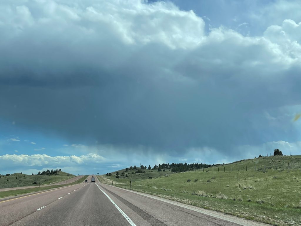
We have been driving across the country for several weeks and I see many other RVs also out here getting a jump on the summer RV season, but it’s not all sunshine and clear roads right now, and that’s the point of this post. It may be spring, but winter has not completely given up her grip on some regions, and if you’re in an RV you certainly don’t want to unexpectedly drive into the jaws of a raging storm. So how can we all avoid dangerous travel conditions in our RVs and prevent this type of disaster?
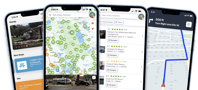
There are many tools now to help you look ahead, both in distance and time. Weather apps for your smartphone will give you current conditions and forecasts for anywhere you may want to travel. State by state, Department of Transportation (DOT) road condition recordings and highway cameras will tell you and show you what to expect on the road ahead, and Google searches will provide additional information about locations along your path. Additionally, RV LIFE provides an amazing suite of apps specifically designed to help you plan and safely navigate your way around the country based on your vehicle specifications.
Use common sense, extra travel time, and flexibility
Two common sense ideas to reduce your risk is to give yourself extra time in your travel plans and another is to be flexible in your route and timeline. You can’t always predict what you might encounter. Weather changes. You might look at the forecast for the upcoming week and everything looks clear then a couple of days later that all changes. A change in the weather might mean you’ll need to stay put for a few days and let the weather settle down.
Other situations that could require extra time are emergency repairs or you might not feel well enough to travel, or you may discover (as we did) that some of the major roads across the country can be closed due to dangerous winds or icy conditions. And if the major freeways are closed, it’s certainly not a good idea to try and find backroads to keep you moving toward your destination.
Build extra time into your trip
If you have extra time built into your travel plans, you’ll reduce your stress because you can take the time you need to get well, repair your rig, or wait for the road to reopen. You may even need to reroute a portion of your trip if the conditions ahead are too dangerous.
Recently we drove from Oregon to Illinois. The planning was pretty straightforward. We decided to use the major freeways system for almost all of the trip. We did take secondary roads across Oregon because we were familiar with them and we wanted to see the less populated eastern portions of the state before leaving Oregon for an extended period of time. We connected with I-84 at the Oregon/Idaho border and planned to use I-84 and I-80 for virtually a straight shot into Ottawa, Illinois, which was our destination.

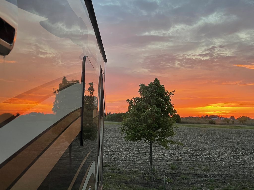
“Red sky in the morning, sailors (RVers) take warning.” – Photo by P. Dent
Damaging Weather is Dangerous for RVs
Fortunately, we added extra time to this trip plan and we’re glad we did. When we arrived in Western Wyoming and we were approaching an 8640’ mountain pass through the Rockies. That’s when we started checking the weather forecast in front of us. The forecast called for several inches of snow for the next few days. The highest mountain pass in the entire US freeway system would be treacherous in an RV.If there was snow and ice on the roadway, it would be worse. We delayed our trip in Bridger, WY for a few days. Then we waited for the storm to pass in front of us.
It did snow both in Bridger, and in the pass. The storm deposited several inches of snow on the highway, but we were stationery and safe.
A couple of days later, after the snow melted, we continued our journey over the Rockies and into Cheyenne, WY. As was our habit, we checked the weather in front of us. But with the Rockies in our rearview mirror, we were feeling pretty safe about the rest of the journey. That is until we read about the severe storms, lightning, thunder, and damaging hail that was in the forecast for southwestern Nebraska.
Now, hurricane and flash floods are dangerous for RVers. But damaging hail can also turn your RV and tow vehicle into a complete loss in a matter of minutes. We started searching for more information. Then we learned from a Google search that the area in which we planned to camp was known as Hail Alley. The peak season for damaging hail in Hail Alley is April until June. It was May 12th.
Change the plan for a safer route
Dangerous thunderstorms and damaging hail were in the forecast from Cheyenne, WY to Omaha, NE for the next week. We couldn’t even safely stay where we were camping in Cheyenne. We knew we needed to be flexible and adjust our route to avoid Hail Alley.
We let the weather forecast help us with our planning. Then we determined that we could go further north to avoid the approaching storm. It would take us several hundred miles out of the way. But we would be north of the dangerous hailstorms predicted for southern Nebraska. Consequently, we rerouted to I-90 through South Dakota. Then we spent a few extra days in Douglas, WY. We enjoyed all that Eastern Wyoming has to offer.
What if we had not built extra time into our trip planning? Or been flexible about our route? We would have been driving right into these dangerous travel conditions and potentially suffered a loss or damage because of it. This lifestyle requires planning and flexibility. That’s why we recommend using all the available tools from RV LIFE, the weather apps, and the DOT road conditions and highway cameras to learn about what lies ahead.
Related articles:


Good article about the (sometimes) perils of RV traveling. We recently sold ours for two reasons: (1) it sat in the driveway many more days, weeks, than it was on the road, and (2) we just got totally sick and tired of the growing number of aggressive, rude, dangerous drivers on the road. North Carolina is one of the highest accident states in the U.S., despite passing itself off as friendly-southern (not true). Many other states are just as bad. So, we’ll just stay home and let the road-maniacs cut other people off, speed, tail-gate, and gun down someone else.
A good article about the value of having a lot of flexibility built in to your travel plans. One point. The pass on I-80 between Laramie and Cheyenne isn’t close to the highest on the interstate system. On I-70 Vail Pass on the Continental Divide is 2,000 feet higher and Eisenhower Tunnel is higher than that.